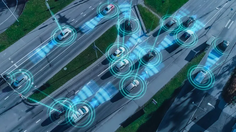
I we talk about road architecture then precision and accuracy have particular importance. Reliable mapping not only guarantees a smooth traffic flow. It also plays into the safety aspect of the whole project. Through the adoption of LiDAR technology, the 3D mapping of roads has undergone a profound evolution. In this article, we will learn how LiDAR technology helps to do all this with ease and accuracy. And how it can work for making reliable 3D mapping projects.
Understanding The Basic Concept Of LiDAR Technology
LiDAR (Light Detection And Ranging) is referred to as Light Detection And Ranging. It is an optically modulated surveying technology. It includes launching out laser beams and measuring how long it takes for them to bounce back from objects. This tool helps to build a 3D map that looks like things we are surrounded by. This is something like a special sensing tool. That makes use of a laser instead of ordinary light to see the surroundings.
It is employed on machines, drones, and in space indirectly to make maps. LiDAR is one of the most valuable tools for land shapes understanding and objects. And making highly accurate maps that things like roads and buildings need for their construction.
Mapping Roads With LiDAR
Generating maps of roads with LiDAR is a bit like having a wonderful invention. It is like an eye that can look at and measure everything on the road very precisely. It’s pretty much like a futuristic scanner for car owners or drone pilots. The lasers simply scatter off the objects such as trees or signs. Then the LiDAR machine calculates the distance using the known speed of light. Also, it depends on the measurable time difference between pulses being sent and received.
This allows the machine to generate 3D maps down to minute details. Like potholes, bumps, and even paths that the land far away takes. They are very beneficial for laying roads, rehabilitation of road networks, navigating roads well, and ensuring the safety of road users
Enhancing Road Safety
Road safety means that there must be a way of assuring that roads are the safest for anyone who uses them. No matter who it is. Automakers are using LiDAR technology to get very good maps of paved roadways to achieve this. Using LiDAR, engineers, and city planners could solve these problems before anything bad happens.
Maps can also be used by these transportation planners to determine appropriate road designs for safety. Hence, while road users rely on LiDAR technology the potential danger spots are identified and fixed.
Streamlining Infrastructure Projects
Reduce infrastructure project management to a single larger phase and complete it within the set timeframe. LiDAR technology can help in this area by precisely scanning land and roadsides. This is important for comprehensive information about the land. They can adjust their designs and plan projects more efficiently. Likewise, they can look out the outside where roads need to be repaired or where new ones should be added.
In addition, the LiDAR method is beneficial in the construction of the bridge and tunnel. As it supplies exact measures of the ground. The result of such a plan is twice as much work done in half the time. With safer and more convenient infrastructure available for people to explore.
Environmental Considerations
Besides its practical applications, LiDAR also has an environmental advantage. The capability to monitor varied coloration and land utilization patterns is very useful. They allow the governments to create a sustainable land management system. Innovations and emerging technologies have the potential to transform mobility and create sustainable cities. The modern technology of LiDAR will, after all, significantly be developed.
Hence, their applications in road mapping will grow even wider with LiDAR targets for ground control. Integration with other technologies results in high accuracy, effectiveness, and variation of the LiDAR-based mapping.
Conclusion
With its application in high-precision road 3D mapping, LiDAR ground control targets have become an influential technology. Data obtained through LiDAR which is of high quality and very detailed can be used in decision-making. It is used to ensure enhanced safety and financial savings and monitor projects relating to infrastructure. Being to the story continuously, LiDAR will play a leading role in transforming road topology implementation. Being the most accurate sensor for road mapping thanks to its skill of artistic vision. LiDAR technology is not only about mapping roads. It is a masterpiece that is writing the beautiful future.
